Need a nature fix? We take look at some of Hong Kong’s best country parks, marine parks and more: where they are, what’s interesting about them, what you can do when you’re there, and other fun facts.
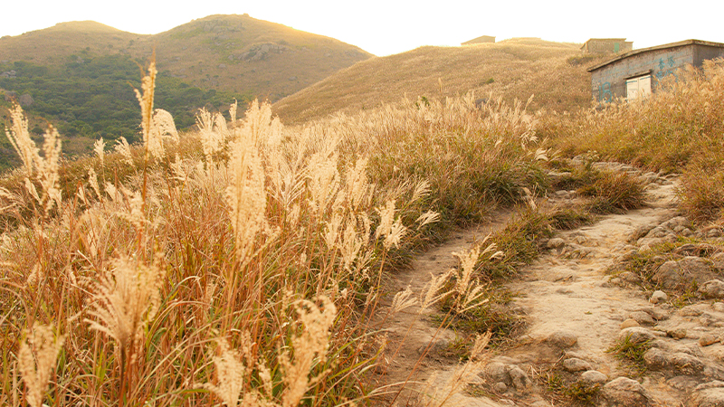
Robin’s Nest Country Park
Location: Along the far northern boundary of the New Territories
Fact file:
- Robin’s Nest became Hong Kong’s 25th country park in 2019.
- The five-square-kilometre area has the Chinese name Hung Fa Leng, which translates as “Red Flower Ridge”.
- The peak of Robin’s Nest is the highest point of the country park at 492 metres; it’s the 55th tallest hill in Hong Kong.
- There are thought to be around 650 species of plants and animals in the area, including 170 types of butterfly.
- Some of the hiking trails in Robin’s Nest Country Park not only take in great views west to Shenzhen, but there are also relics from World War II and caves from former lead-mining activities.
What else?
This area is home to one of HK’s seven MacIntosh Forts. These forts were built between 1949 and 1953 in an effort to stop illegal immigration across the border. They take their name from the Police Commissioner of the day, Duncan William MacIntosh, and are Grade 2 historic buildings.
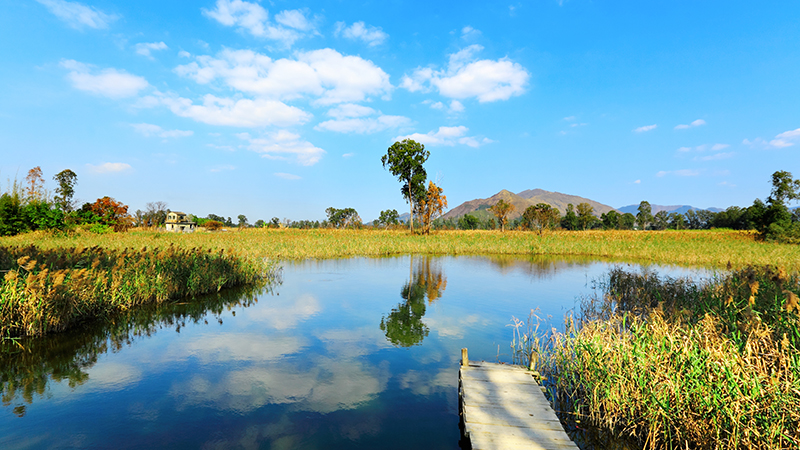
Hong Kong Wetland Park
Location: In Yuen Long, in the far northwest of Hong Kong
Fact file:
- Opened to the public in 2006, the Hong Kong Wetland Park consists of a visitors’ centre, various boardwalks, bird hides and other hands-on facilities. These reopened on 18 February 2021 after temporary closure on account of the pandemic. In a normal year, the park sees almost half a million visitors.
- The area is home to a wealth of freshwater plants, plus a huge range of wildlife, including birds, butterflies, amphibians, fish, crabs and dragonflies.
- Mini quiz:Three of the wetlands’ creatures are the Blue-spotted Crow, Eastern Lilysquatter and Stejneger’s Stonechat; identify the bird, butterfly and dragonfly among that list. (Answer: Butterfly, dragonfly, bird.)
- In August 2017, the park recorded Hong Kong’s highest maximum temperature: 39 degrees Celsius.
What else?
The park is home to Pui Pui, Hong Kong’s famous saltwater crocodile. Captured in 2004 as a four-year-old in the Shan Pui River by the Agriculture, Fisheries and Conservation Department, Pui Pui was first homed at Kadoorie Farm, before coming permanently to the Wetland Park in 2006.
Tai Mo Shan Country Park
Location: In the heart of the New Territories
Fact file:
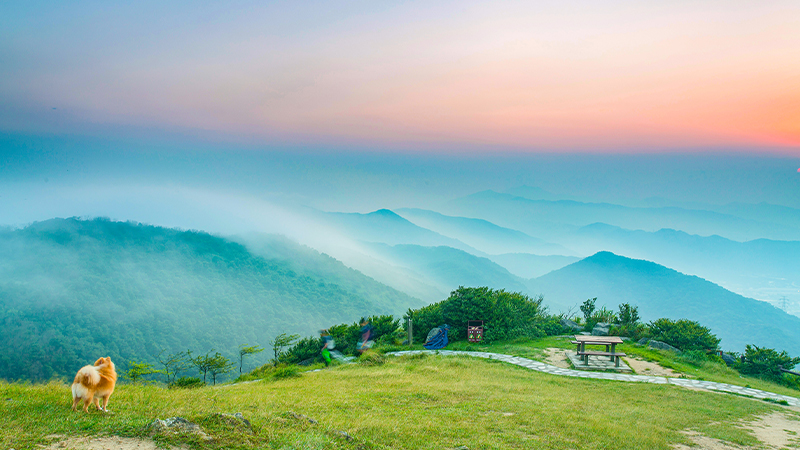
- The 14.4-square-kilometre park surrounds Tai Mo Shan (“foggy mountain” or “big hat mountain”), which is Hong Kong’s highest peak, at 957 metres.
- While there’s fog aplenty up here (hence the name!), on a clear day the views are superb, with Kowloon, Victoria Harbour and Hong Kong Island all visible.
- Tai Mo Shan is actually an inactive volcano; it dates back to the Jurassic period.
- How cold? On a particularly frigid day in 2016, the mercury dipped to minus 6 degrees Celsius at the summit.
- This area of Hong Kong was once home to tea plantations, and famous for a variety of green tea called wun mo cha – “cloud” or “mist” tea.
What else?
To the north of Tai Mo Shan is another smaller peak, Kwun Yam Shan, which is home to a number of “hot pots” (some of them signposted); this is the local name for fissures in the ground that emit warm, moist air from below the surface. They’re sometimes referred to colloquially as “dragon’s breath”.
Hong Kong UNESCO Global Geopark
Location: The New Territories, east and northeast of Sai Kung
Fact file:
- Founded in 2009, the Park was then listed as a UNESCO Global Geopark in 2011. As of 2020, there are 161 of these UNESCO Geoparks across 44 countries.
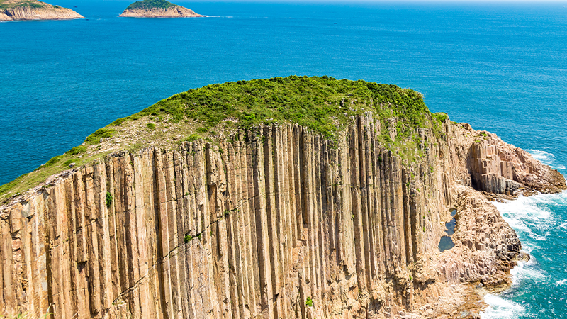
- The area is best known for its distinctive geological features, made up of clusters of hexagonal columns or prisms of rock. These are thought to be well over 100 million years old.
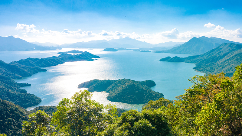
- Among the best places to see these striking rock columns is at High Island Reservoir, which is also the easiest part of the Geopark to access (taxi from Sai Kung).
- High Island also happens to be on Stage 1 of the Maclehose Trail. There’s a 4.3km Geotrail here that takes in some great views, too.
What else?
A part of Hong Kong’s Geopark overlaps with Kiu Tsui Country Park. Lying just off the coast of Sai Kung, this is Hong Kong’s smallest country park (1 square kilometre) – but it packs a punch, as it includes Sharp Island. The island has what’s known in geology as a tombolo, a natural sand levee that connects to a smaller island, Kiu Tau island. It’s only visible at low tide, at which time you can stroll the 250 metres to the other side.
Lantau South Country Park
Location: South side of Lantau Island
Fact file:
- There are two country parks on Lantau; the other is called – you guessed it! – Lantau North Country Park.
- At 56 square kilometres, this is Hong Kong’s largest country park. That’s equivalent to around three-quarters of the area of Hong Kong Island (78 square kilometres).
- Lantau South Country Park is renowned for its sunsets. There’s even a Sunset Peak – Tai Tung Shan, Hong Kong third-highest mountain. (Nearby Lantau Peak is the second-highest.) The quickest route to the top is probably from Pak Kung Au – it’s a 2km uphill climb (including a thigh-burning 400 steps right at the start!). Of course, if you stay to take in the sunset, you’re going to need a good torch for the return journey…
- The 12-stage, 70km Lantau Trail passes through the park.
- Ngong Ping, on the high northern edge of the country park, is where you’ll find Po Lin Monastery and the famous 34-metre Tian Tan Buddha.
What else?
This country park is home to several of Hong Kong’s rare fauna, including the barking deer (actual name: Northern Red Muntjac), which hides deep in the forested slopes, and the cute and quick-moving Pallas’s Tree Squirrel.
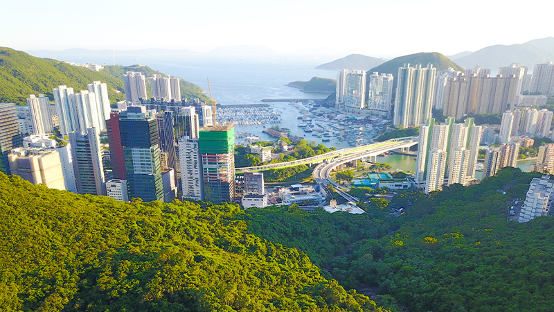
Aberdeen Country Park
Location: Southwest side of Hong Kong Island
Fact file:
- Opened in 1931 and designated in 1977, this is one of the oldest country parks in Hong Kong.
- The park was significantly damaged during the Japanese Occupation of the Second World War; its current beauty is a result of post-war reforestation combined with natural regeneration.
- There are some great facilities for physically disabled nature-lovers here, including a specially designed picnic area, a wheelchair trail for exploring the countryside, two braille maps and information boards, and other features.
- For walkers, Stage 3 and Stage 4 of Hong Kong Trail can be found within the park. You can also get here from the Peak and from Black’s Link in Wan Chai.
What else?
Aberdeen Country Park is home to many of Hong Kong’s black kites. Come at dusk and you’re likely to see the birds of prey beginning to roost for the night on the trees. There have been pangolin sightings here, too, though you’re more likely to see the park’s ubiquitous wild boars (sniffing around the rubbish bins near the barbecues, most likely…).
Aquatic Adventures
Hong Kong is also home to half a dozen marine parks and reserves, including the following three.
- Hoi Ha Wan Marine Park north of the Sai Kung Peninsula is renowned for its biodiversity, including a plethora of corals, making it a diving hotspot. There are also remnants of the old lime kiln industry that flourished here in the 19th century, when refined lime from oyster shells and coral was used in construction and agriculture.
- In the western waters of Hong Kong is the 12-square-kilometre Sha Chau and Lung Kwu Chau Marine Park. Rich in organic nutrients as a result of its proximity to the Pearl River, the area is best known as a habitat of the rare Chinese white dolphin (the one that appears to have pink skin).
- In addition to half a dozen marine parks, Hong Kong also has one designated marine reserve. Located on the very southeast point of Hong Kong Island, the Cape D’Aguilar Nature Reserve is a modest 500 by 400 metres across, but serves to protect the important sub-tidal habitats and rocky shores. You can’t fish, swim or dive here.
See more in our Things to do section.
Subscribe to Expat Living magazine now so you never miss an issue.

